|
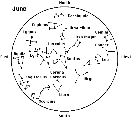
To use map:
Hold map with the direction you are facing at the bottom.
Compare the dot patterns on the map with the stars in the sky.
The center of the map is always the zenith (straight up) while the circle around the map always represents the horizon.
Sky Chart is drawn for a viewing location of 40o north latitude.
|