|
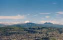
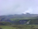
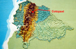
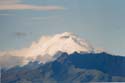 From the city of Quito several volcanic mountains are visible but none of them
are as sharply defined against the sky as 'Volcan Cotopaxi'. This is a snow-capped
mountain approximately 50 kilometers south of Quito that is one of the highest active
volcano in the world. It's summit at 5897 meters (19165 feet), while not the
highest mountain in Ecuador, is more easily accessible to hikers and climbers than the
other snow-capped mountains in the area.
From the city of Quito several volcanic mountains are visible but none of them
are as sharply defined against the sky as 'Volcan Cotopaxi'. This is a snow-capped
mountain approximately 50 kilometers south of Quito that is one of the highest active
volcano in the world. It's summit at 5897 meters (19165 feet), while not the
highest mountain in Ecuador, is more easily accessible to hikers and climbers than the
other snow-capped mountains in the area.
Sue, Graciela, Luis, and I headed out for a hike on Cotopaxi one morning.
It was sort of the typical Quito weather, cool when in the shade or a shadow,
and noticeably warmer when in sunlight. (They say that Quito has four seasons
every day - and it did seem like that as we were always dressing for cool
weather and then peeling off sweaters and jackets, or putting them back on again.)
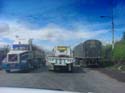
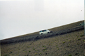
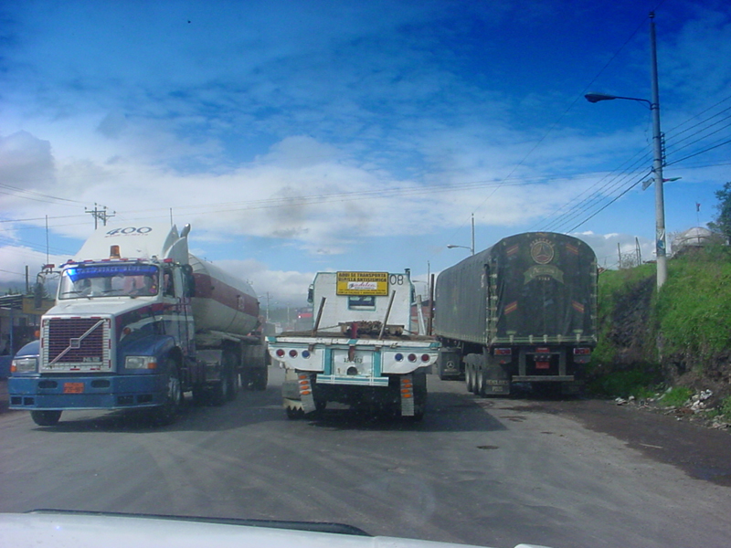
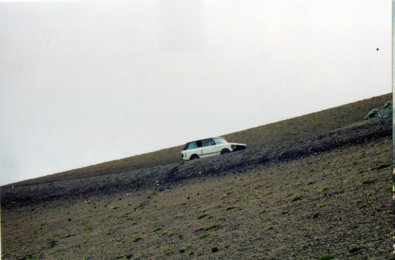
 Driving an ancient Range Rover we headed out of Quito and eventually were on the
Pan American highway. This is a two-lane road, or 3, or 4 depending on... (actually
I am not sure what the driving rules depended on!) A number of times as we were passing a car
another car or truck would pass us - very often as cars heading toward us were passing
each other! In any case the road passed through what seemed like an endless valley
with mountains to the right and left until we drove up and out of the valley onto
the western edge of the volcanic plateau Cotopaxi was on. The highway peaked out
at around 11000 feet as we drove through clouds, fog, rain and sleet. That sort of set the
weather trend as we turned east onto an unpaved road (dirt in other words) for
the 25 mile or so drive to the volcano.
Driving an ancient Range Rover we headed out of Quito and eventually were on the
Pan American highway. This is a two-lane road, or 3, or 4 depending on... (actually
I am not sure what the driving rules depended on!) A number of times as we were passing a car
another car or truck would pass us - very often as cars heading toward us were passing
each other! In any case the road passed through what seemed like an endless valley
with mountains to the right and left until we drove up and out of the valley onto
the western edge of the volcanic plateau Cotopaxi was on. The highway peaked out
at around 11000 feet as we drove through clouds, fog, rain and sleet. That sort of set the
weather trend as we turned east onto an unpaved road (dirt in other words) for
the 25 mile or so drive to the volcano.
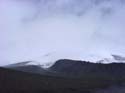
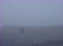
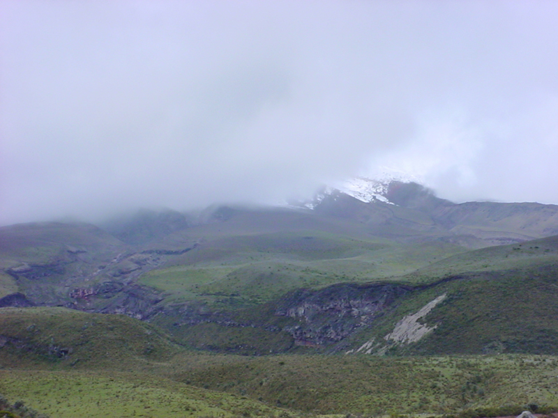
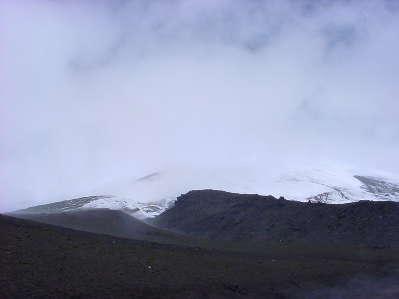
The weather was very overcast with low clouds, (actually we were high enough
that we were in the clouds) and misty rain. We passed through the park
entrance and followed a road that crossed a swiftly moving stream at one point,
but basically was like most unimproved roads in our parks. We stopped at the Park Ranger
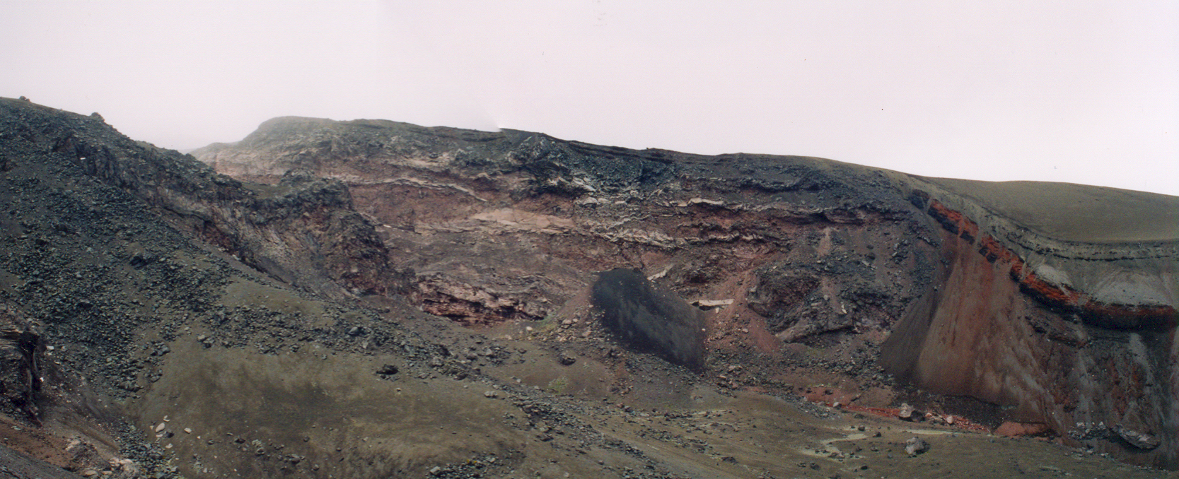
station to see an exhibit and display of the national park and then had an enjoyable
personal guide of an overlook that looked over a lava channel. Considering that
visibility was about 100 feet the lava channel 300 feet below looked rather cloudy,
for lack of a better description. We thanked him and then had a snack of corn on the
cob and cheese. This was a typical combination of foods eaten by the people living
at high altitudes.
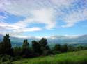
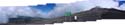
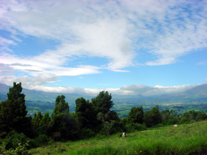
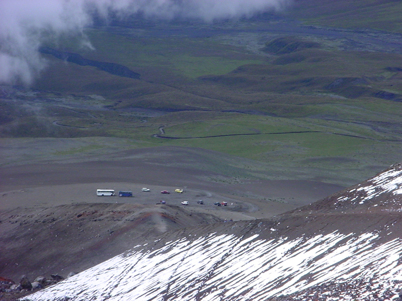
We continued driving and our altitude steadily increased. We leveled off for a
few miles as we drove along a high plain that had a small lake, Lago Limpioungo, off in the distance. This
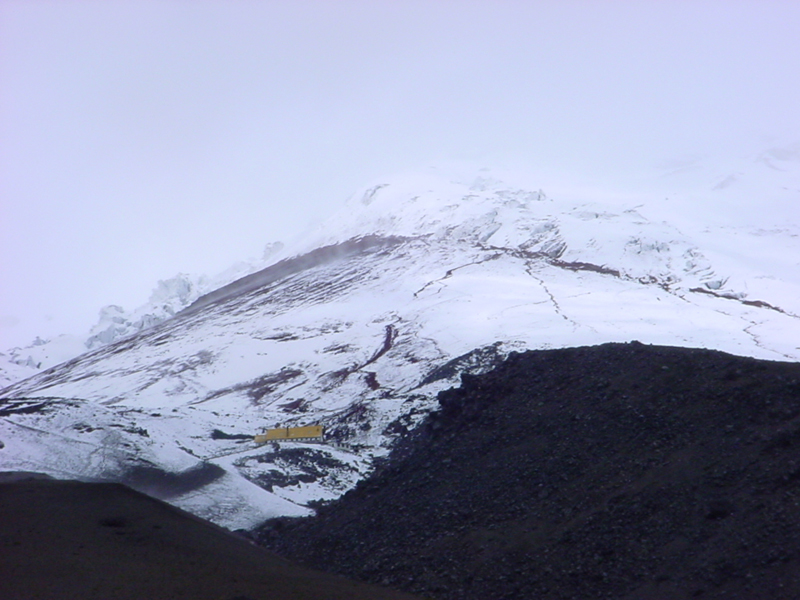
was at about 12000 feet. The road then turned rougher and more steep but we had views
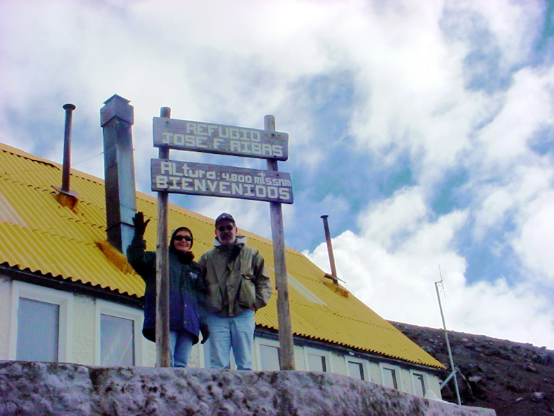
of the summit area and the refugio (hikers hut) we were going to hike to. The hut has a bright
and very visible yellow roof that you can see in some of these pictures.
We were
headed for a parking lot at an altitude of 4500 meters and a short hike to the
refugio at 4800 meters. What's 300 meters? Well at that altitude 15000+ feet a walk
across the parking area was an effort - it was so difficult to get enough air
to catch your breath. We looked at the refugio, the yellow roof was easy to see,
and we all thought "hey it's just up the ridge from where we are". Make that up and
down and up several ridges as we followed a trail along a beautiful
lava flow channel.
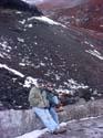
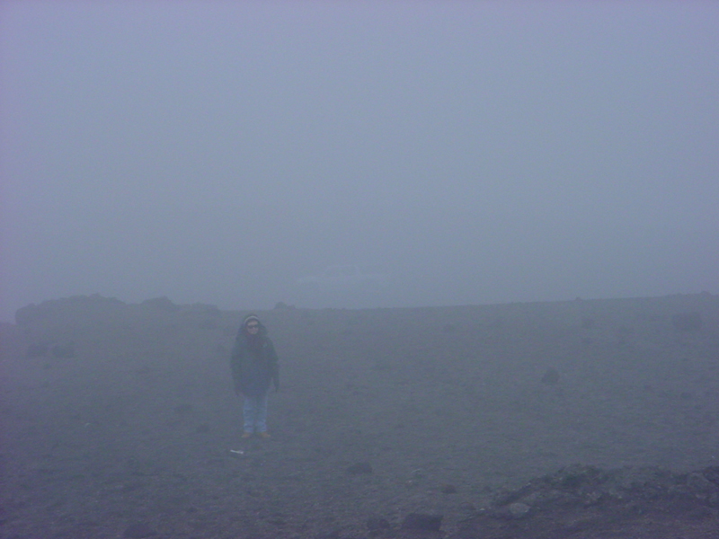
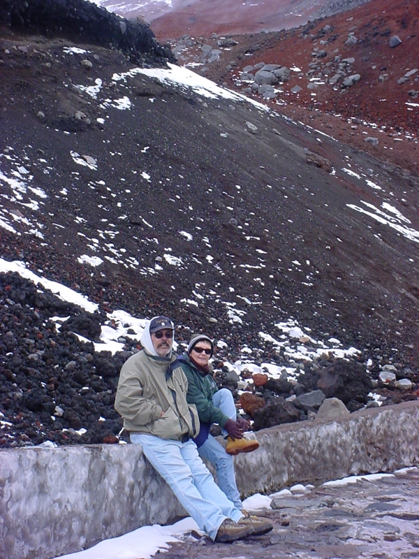
As we hiked we gradually adapted, (somewhat) to a rhythm of walking at a pace
that allowed for a more controlled breathing pattern. It was still somewhat difficult
as the slope we were on was from 10-20 degrees and was composed of loose sand-sized
basalt and andesite. It was loose enough to feel as if it were the one step forward, two back
thing. Clouds would roll in and we would be enveloped in a thick fog, or we would
be pelted by rain, sleet and snow as we moved higher up the trail.


The three of us sort of leap-frogged our way - Graciela, being more adapted to
the altitude, would slowly move ahead and then pause until I caught up. We would wait for Sue
or I would go back down to where she was and we would catch up with Graciela. As the
clouds would move away we could see the refugio getting closer while the parking area
was getting smaller and more distant.
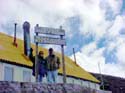
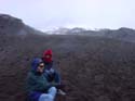
We finally made it the refugio - an altitude of 4810 meters (15780 feet). The
building was essentially two very large rooms divided into eating and cooking downstairs
and upstairs sleeping quarters where there were bunk beds
for the climbers spending the night before the summit attempt. That is typically
done by leaving at around midnight, reaching the summit 7-8 hours later at sunrise.
^ back to top ^
|


